PARAPAPA
Rare Original 1987 Double-Sided Soviet Ukrainian Geography School Chart – Map Reading & Topography
Rare Original 1987 Double-Sided Soviet Ukrainian Geography School Chart – Map Reading & Topography
Couldn't load pickup availability
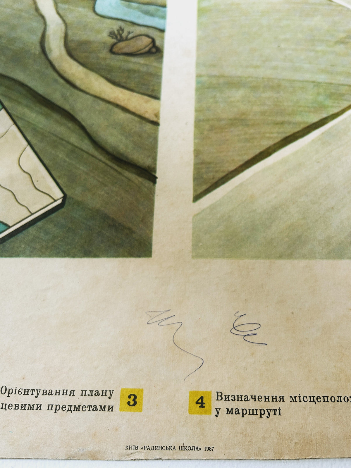
A double-sided authentic Ukrainian geography school chart printed at Kyiv Note Factory in 1987 on durable cardstock. A rare survivor from a time when the Ukrainian language was suppressed and replaced by Russian across the Soviet education system. This beautifully illustrated chart was used to teach terrain navigation and orienteering in geography classrooms. From the collection of a retired teacher.
Each purchase supports Ukraine 🇺🇦
SIZE:
56.5cm x 85.5cm
-
Side 1 (Terrain Navigation): Features illustrations showing students navigating with a compass, reading topographic maps, and identifying landmarks in rural landscapes.
-
Side 2 (Contour & Relief Mapping): Displays detailed cross-sections of elevation, contour lines, and sea-level height calculations.
This is a 100% genuine original vintage item (not a modern print or reproduction). Complete with its original attached hanging cord, it makes an exceptional focal point for living rooms, studies, or gallery walls.
CONDITION:
Good, sturdy vintage condition with natural patina and edge wear from regular classroom use. Please enlarge photos for details.
Unframed, with original rope for hanging.
A genuine piece of Soviet-era design and educational history. Ready to be displayed and enjoyed.
Worldwide shipping. Available for a free collection in Margate. If you can’t see a shipping option to your country or would like to discuss a larger order, please get in touch for a custom shipping quote.